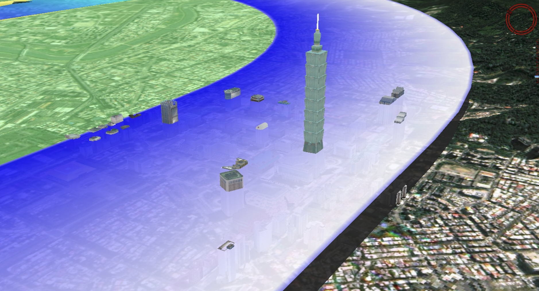
Digital Twin for Airspace & Airport Planning
High-resolution satellite imagery and 3D terrain modeling form the foundation for dynamic digital twins of Airport and critical infrastructure zones. These models support :
1. civil aviation authorities & urban planners for airport Design & Obstruction.
2. Simulation of unmanned flight corridors
3. Mapping of UAV-safe routes and aerial navigation zones